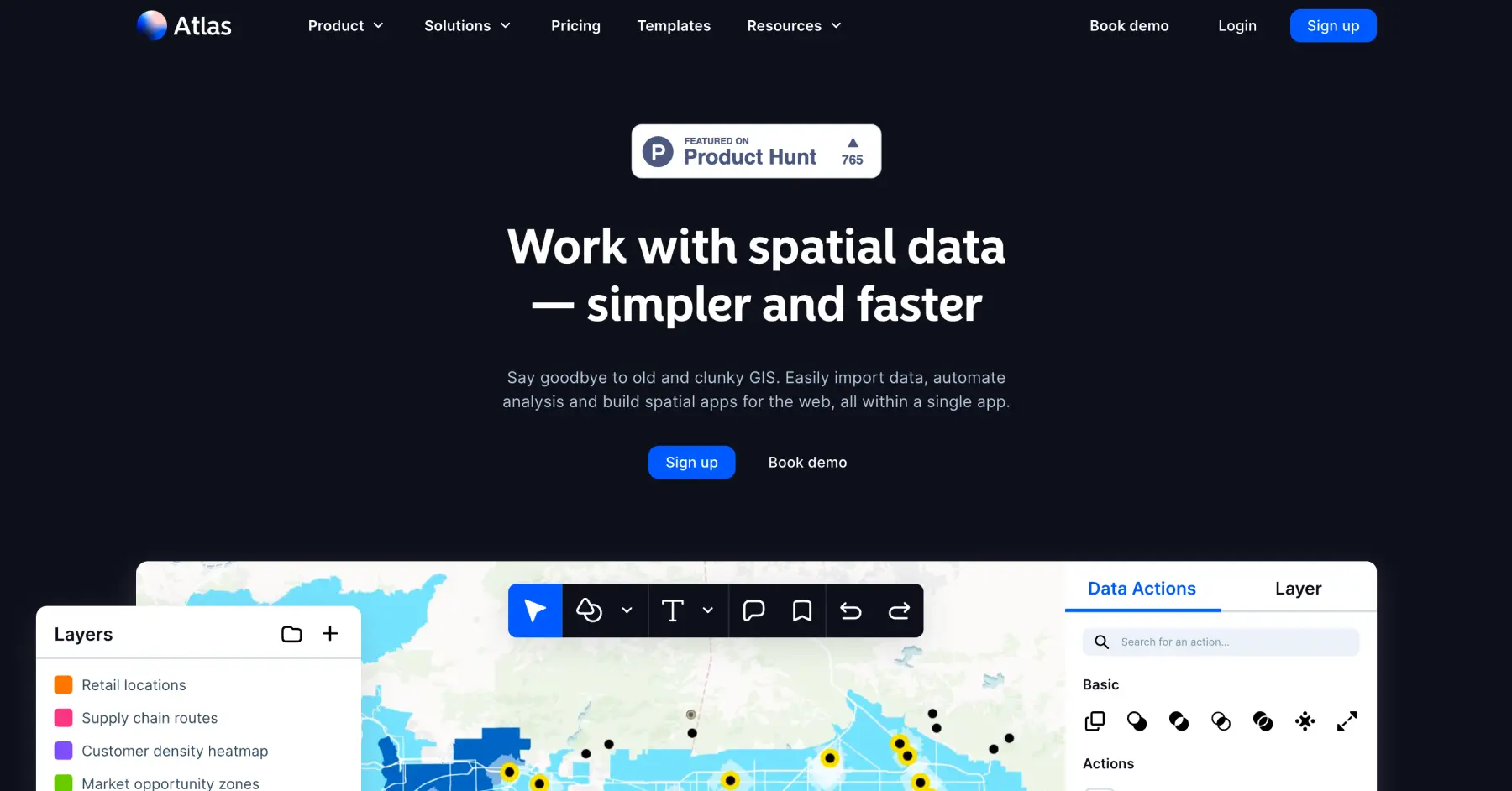
Atlas is a modern, browser-based mapping platform that makes advanced geographic analysis accessible to anyone without GIS expertise. Travel enthusiasts use it to create visual maps of their journey patterns, digital nomads build maps comparing living costs across cities, and travel bloggers design data visualizations showing their coverage areas and most-visited destinations.
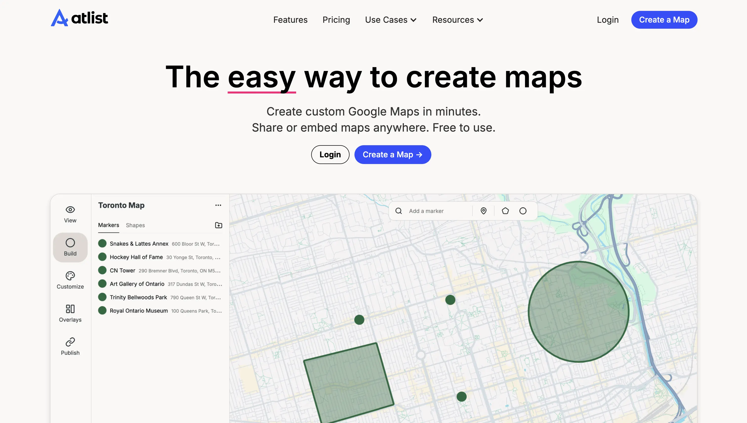
AtList is a user-friendly custom map maker that allows travelers to create beautiful, interactive maps without any coding knowledge. Travelers use it to compile restaurant recommendations from their European backpacking trip, map out all the breweries they want to visit in Portland, or create comprehensive guides of their hometown's hidden gems to share with visiting friends.
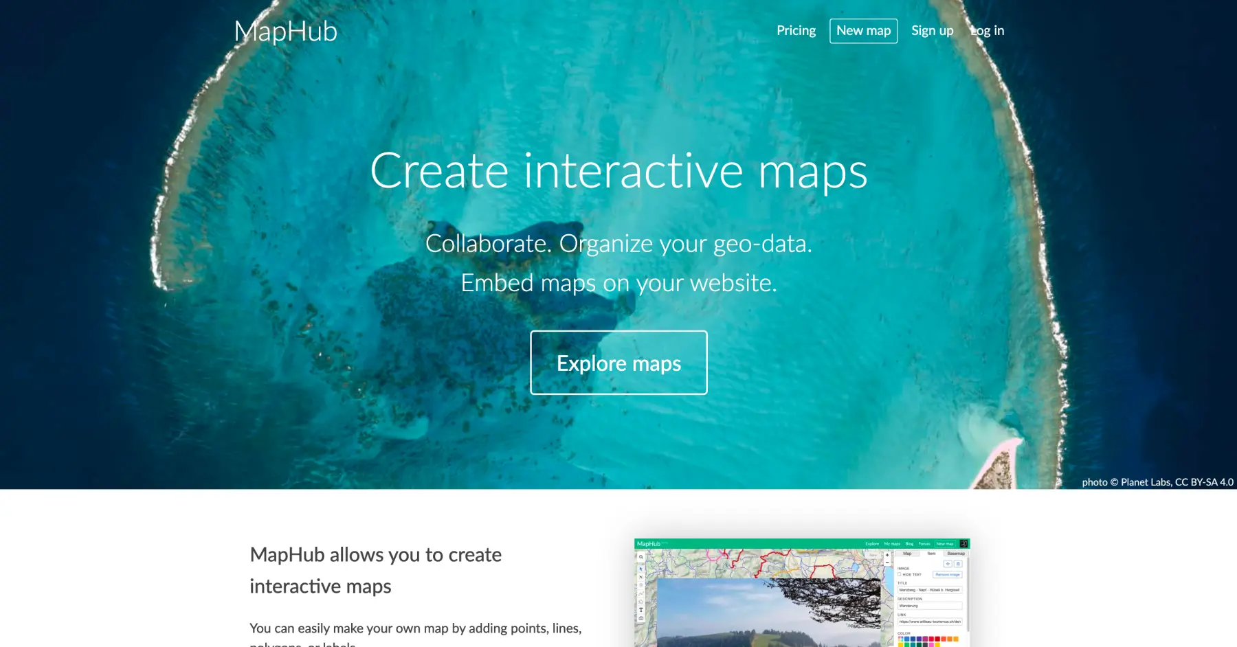
MapHub is an interactive mapping platform that enables travelers to create and collaborate on custom maps. Built on OpenStreetMap data and explicitly designed without advertising, tracking cookies, or Google dependency, travelers choose it when they're planning multi-family reunion trips where everyone needs input access, organizing group hiking expeditions with GPS track sharing, or creating detailed travel guides without data tracking concerns.
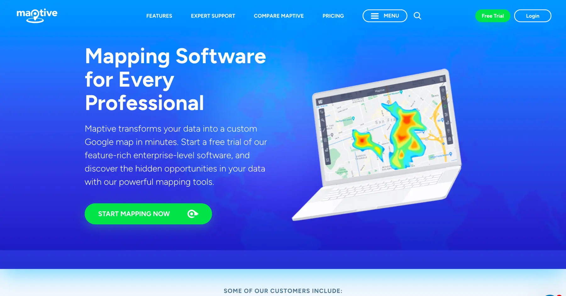
Maptive is a powerful, Google Maps-based mapping platform designed for travelers with complex mapping needs. Travel bloggers use it to create heat maps showing their coverage across continents, road trip enthusiasts optimize routes connecting 50+ national parks, and location-independent digital nomads analyze cost-of-living patterns across dozens of cities they've experienced.
Proxi is a no-code interactive map creation platform designed for visual storytelling and community engagement. Travel influencers use it to create Instagram-worthy city guides with custom branding, wedding planners build guest recommendation maps for destination celebrations, and travel bloggers replace static listicles with engaging visual maps that boost audience interaction and drive more visits to recommended spots.